River of the Month | September, 2026

Quinn River

Photography | Sage Brown

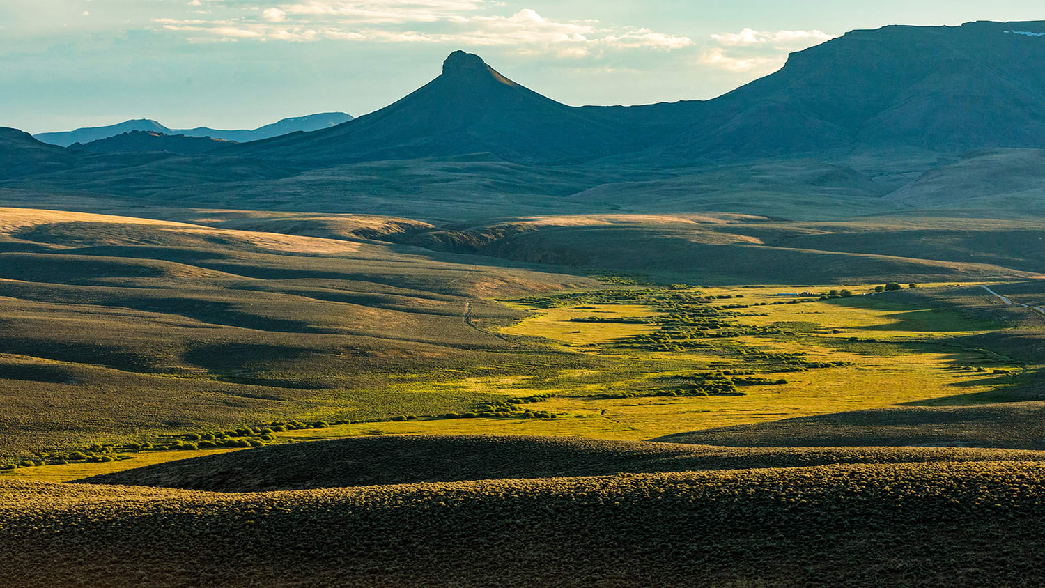
The Quinn River is a remote and rugged desert stream that runs intermittently for 110 miles from its headwaters in the Santa Rosa Range through the high desert of northeast Nevada. Unlike most rivers, the Quinn is a terminal river, meaning it never reaches the ocean or another river. Instead, it evaporates into the sands of the Quinn River Sink in the Black Rock Desert (of land-speed, hot spring and Burning Man fame). The Quinn River basin is defined by pristine mountain streams and vast stretches of public land converging in arid valley bottoms.

Why It Matters

The Quinn is the largest river in the watershed of northwest Nevada and southeast Oregon and one of the few remaining strongholds for Lahontan cutthroat trout, Nevada’s state fish. The river flows through the lands of the Fort McDermitt Paiute and Shoshone Tribe, and the corridor of green it creates supports tribal communities. The historic Applegate-Lassen Trail, a mid-1800s emigrant route that served as a southern alternate to the Oregon Trail, crossed the Black Rock Desert and the Quinn River itself before continuing north into Oregon

Fish

Lahontan cutthroat trout were once abundant in the Great Basin. Today the species is federally listed as threatened, having lost much of its range to warming streams and hybridization with non-native trout. Streams like the Quinn, which still run cold and clear in the upper reaches through the remote mountain valleys of the Great Basin, represent the best remaining hope for recovery. In fact, recovering a self-sustaining population of Lahontan cutthroat trout in the Quinn River drainage is one of the top priorities in the U.S. Fish and Wildlife Service's recovery plan for Lahontan cutthroat trout.

Wildlife

In this arid region, the Quinn River and its tributaries are lifelines for wildlife, including pronghorn, bighorn sheep, mule deer and migratory birds that depend on the seasonal springs fed by winter snowpack and spring run-off. The surrounding sagebrush grasslands also support greater sage-grouse, one of the Great Basin’s iconic birds.

How to See It

The Quinn River isn’t a whitewater or fishing destination. Instead, it offers a rare escape into rugged desert wilderness, with distinctive plant and animal life, scenic camping and hiking, and some of the best star gazing in the country. Intrepid explorers should prepare for a truly remote trip, with dirt roads, minimal signage, limited water sources and often zero cell service.

  • Hike

    Hike

    The Oregon Desert Trail—a 750-mile route of hiking trails, historical wagon roads and old jeep tracks across public lands—passes through the Quinn River basin near McDermitt, Nevada. Hikers can follow the McDermitt Alternate, which branches off the main ODT route, for a scenic but demanding trip through this remote desert landscape. Near the Quinn's headwaters, the Falls Canyon Trail in the Santa Rosa Range offers a more accessible four-mile out-and-back with sweeping Great Basin views. Both routes are best suited to experienced backpackers with strong navigation skills.

  • Camp

    Camp

    Ample dispersed camping can be found on Bureau of Land Management land, and the dark skies offer views of the stars that are second to none. This is primitive camping in the remote high-desert country, where amenities are non-existent, but scenery and seclusion are impossible to beat. For more information, maps and trip-planning tips visit the BLM’s pages on the Black Rock Desert, Disaster Peak Wilderness Study Area, Oregon Canyon Wilderness Study Area, and Red Mountain Wilderness Study Area.

  • Wildlife

    Wildlife

    Two large wildlife refuges near the Quinn River basin offer outstanding opportunities for birding and wildlife viewing. The Malheur Wildlife Refuge in southeastern Oregon is famous for its bird life, including sandhill cranes, tundra swans, cinnamon teal, burrowing owls, western meadowlarks and so much more. The Sheldon National Wildlife Refuge just across the border in Nevada was created as a haven for pronghorn, and also hosts greater sage-grouse, American pika, California bighorn sheep and more.

The WRC Story

In 2020, WRC embarked on an effort to conserve Disaster Peak Ranch, a remote 3,345-acre property along 7.5 miles of McDermitt Creek and another 11 miles of prime tributary streams. Now complete, the effort set the stage for game-changing recovery efforts for Lahontan cutthroat trout of the Quinn River basin. Disaster Peak Ranch has been a working cattle ranch for generations, and the habitat in and along McDermitt Creek and its tributaries were in superb conditions when we purchased the property. This was because the past two families on the ranch intentionally ran cattle in a way that kept the riparian corridor healthy for fish. To preserve and carry forward that legacy, WRC purchased the property and set out to find a long term steward. Under WRC’s ownership, we worked with federal and state agencies to further enhance the habitat on the ranch while keeping it in operation. In April 2024, we conveyed the 655-acre Nevada side of the ranch to Nevada Division of State Lands. Then, in 2026, we conveyed the 2,690-acre Oregon side of the property to Oregon Desert Land Trust. WRC has now positioned our partners to begin the work of restoring and reconnecting 55 miles of stream habitat on and around the property and recovering a self-sustaining population of genetically pure Lahontan cutthroat to these streams. The joint effort will double the number of stream miles available to Lahontan cutthroat in the species’ northwest range and, if all goes as planned, make this special place one of the Great Basin’s top strongholds for Lahontan cutthroat trout.
Best Time of Year

Hiking
March-May and September-November
Birding
March-May
Wildlife
May-September

Go Deeper

  • Quinn River Cutthroat

    (An in-depth look at this Lahontan cutthroat subspecies.)
    Learn More
  • Adventure hiking on the Oregon Desert Trail

    (An episode from OPB’s Oregon Field Guide all about what it’s like to hike across the Oregon high desert.)
    Learn More
  • Stargazing in the Black Rock Desert

    (Information about the spectacular night sky views in the Black Rock Desert, including a printable star chart.)
    Learn More
  • Disaster Peak Ranch

    (Oregon Desert Land Trust’s project page for McDermitt Creek, including info on the recovery work it is doing.)
    Learn More

Stay on top of our work

Choose the news you want to receive, and we’ll keep you abreast of our conservation efforts around the West.